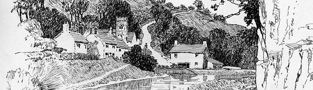
Post: We’ve all been there a grassy track which turns out wetter and wetter and eventually one begins to wonder what on earth am I doing here ? And for the benefit of Mr David Miller, the work to create the reservoir at Belmont is found to be a work in progress. Now used for dinghy sailing.
Friday, September 4 Great Hill
Having a leisurely half-day, I bethought myself of an ‘over the top’ route, so I started via Belmont road against a high wind. At Belmont I watched the workmen engaged on the new big reservoir for a while, then with the main road almost to myself, sped along to a gate opposite a pub. Passing through this gate, I got onto a rough track which entirely petered out at another gate. I continued however, over the gate, and got on to the moors. It was a job, carrying the bike mostly, sinking into a bog, just missing stagnant pools of oozy, slimy, water, and negotiating wide, crumbling drains. I could see the rounded hill before me, and could just make out a faint scarred track – I must make for that, but owing to the roundabout way I had to take, it never seemed to get any nearer. Once I found myself entering an area of rushes – I had to cross it, and it became awkward work I can tell you, with the bike on my shoulder, balanced with one foot on a little knob of grass, and striding across little dank, murky pools to the next sod. At length I found myself getting deeper in the mire, so I had to retrace my steps across the little lakes of bog. Then I spotted a ruined farmhouse surrounded by trees, so I made my way to it, and there found the track. After that I was able to trace it up the very steep hillside to the summit where there was an ordnance mark surrounded by railings.
I got an extensive view though, from the summit, the Ribble Valley, Pendle Hill, Malham Fells and table-topped Ingleborough to the North and East, then the Fylde and the Lancashire coast from Morecambe Bay down to Liverpool, with the great black and green patch of South Lancashire between.
I missed my way afterwards, and wandered through many ruined farmyards, along very rough tracks, eventually coming out in the village of Brinscall. Then by various lanes to Clayton Green for tea at the Lord Nelson, an old coaching house dated 1688. I returned by Wigan road to Euxton, then by a newly discovered byway skirting Chorley and crossing the main road at Yarrow Bridge, came home via Limbrick and Heath Charnock. 40 miles